
National Authority
for the Litani River
for the Litani River
National Authority
for the Litani River
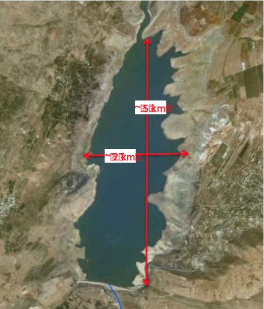
This report considers the modeling of a potential dam break from the Qarauon Dam in the Litani River Basin using an unsteady HEC-RAS model. Topographic data for the Litani River Basin was obtained from contours lines digitized from maps and converted to a 5m x 5m cell-size Digital Elevation Model (DEM) representing the Litani River Basin. The Qaraoun Dam is located at a narrow point at the southern end of Bekaa plain at an elevation of 800m above sea level. The concrete faced rockfill dam has a maximum capacity of 220 million m3.
The Litani River Basin downstream of the Qaraoun Dam is very steep, dropping 800m in approximately 90 km distance to the mouth of the river at the Mediterranean Sea. The river flows through several deep and winding canyon sections interspersed with wide, flat reaches over this interval making the dam break modeling problem challenging as many cross-sections must be used in the model (1-5 m spacing between sections), along with a short time step (5 seconds).
Click here to download the file