National Authority
for the Litani River
for the Litani River
National Authority
for the Litani River
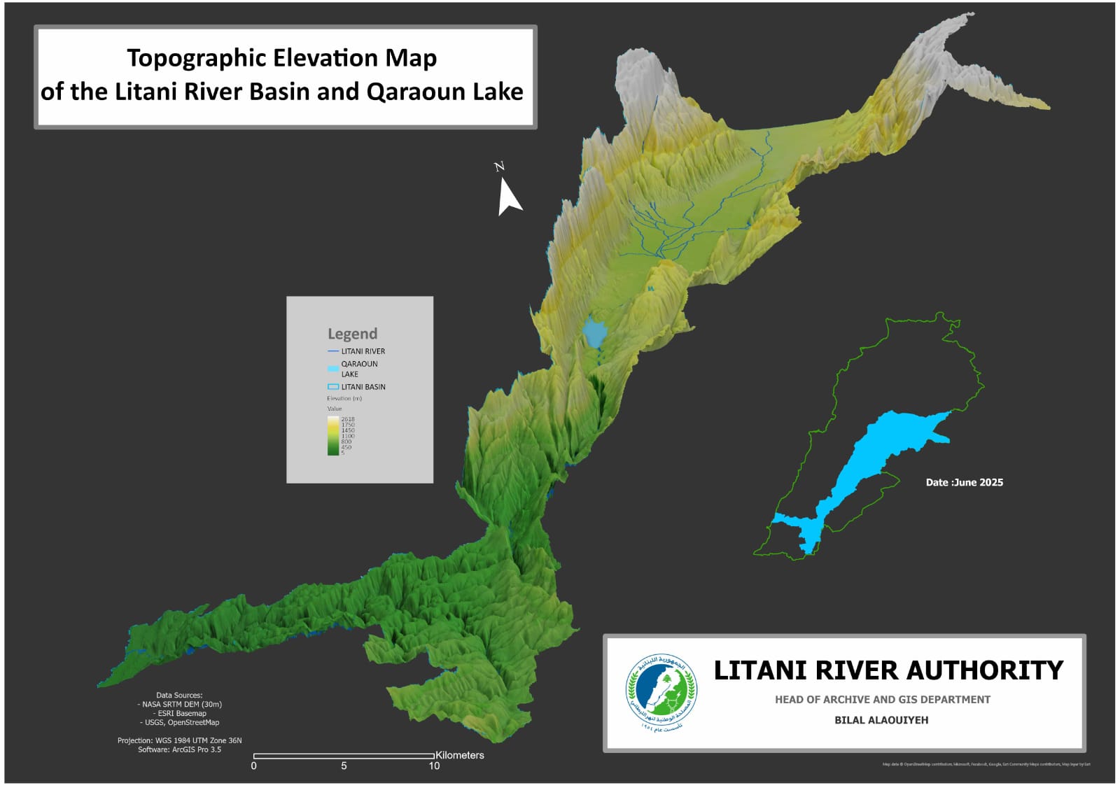
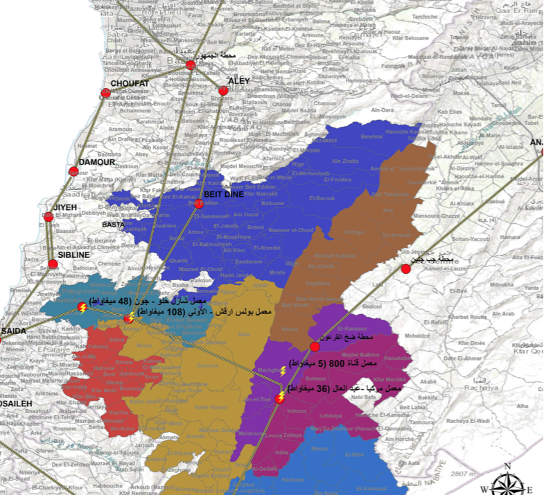
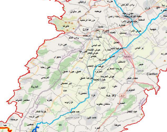
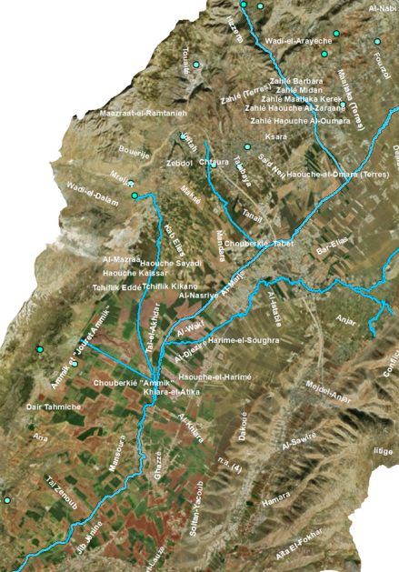
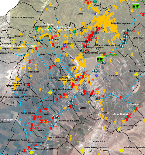
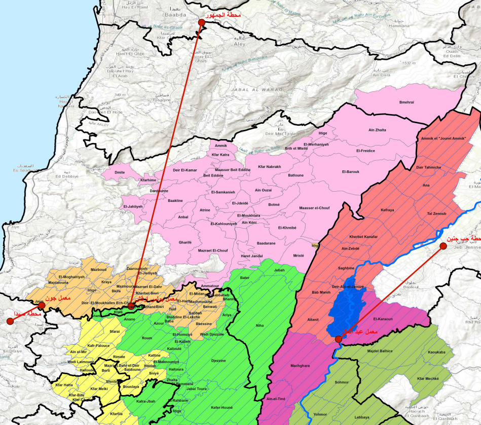
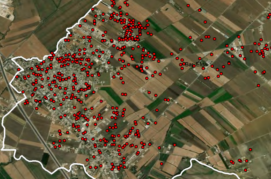
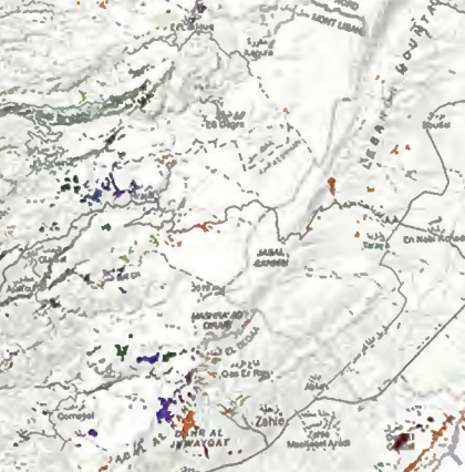
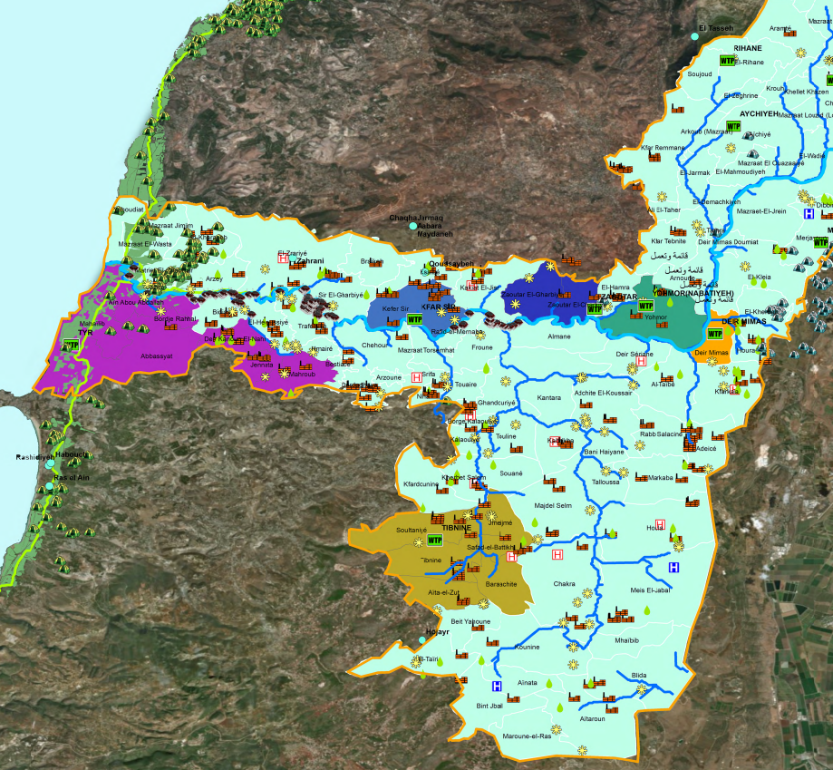
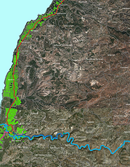
The Department of Geographic Information Systems (GIS) performs tasks aimed at creating a database for the data set and documenting all information related to the Litani River Basin and issuing the necessary and illustrative maps for the river basin and for the projects of the National Authority for the Litani River, including (a comprehensive survey of all institutions located in the river basin, significant projects to treat pollution In the Litani River basin, irrigation canals, irrigated areas, interest properties, river properties...) and then building a geographic information base.